During the 18th, 19th and 20th centuries, Great Britain, France, Portugal and Spain controlled vast territories across the globe through a combination of seapower, economic control and brute force. This video from the Portuguese visualisation designers Pedro M Cruz and Penousal Machado charts the rise and fall of these four largest maritime empires, from 1776 and the American War of Independence, right up to 2009, when the once-expansive land claims of these nations barely extended beyond the European continent. The duo illustrates the centuries-long process of decolonisation as a kind of mitosis, with newly independent nations splitting off from the colonial powers. According to Cruz, the soft, cellular bodies used for the visualisation are meant to convey the ‘volatility and dynamic nature’ of these empires over time.
Colonialism as mitosis – the rise and fall of empires, rendered as cell division
Video by Pedro M Cruz and Penousal Machado
Composer: CHOP WOOD

videoDemography and migration
What can a map of notable births and deaths reveal about the spread of culture?
6 minutes

videoHistory
War, conflict, bloodshed, upheaval or: how we got to Great Britain
7 minutes
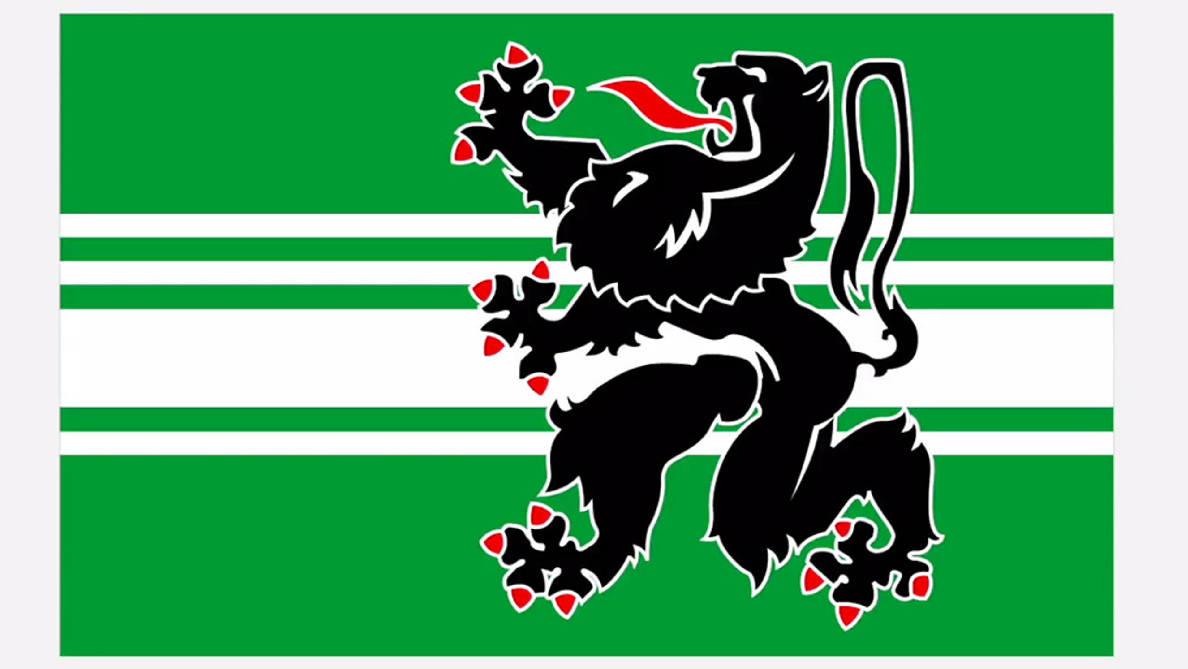
videoNations and empires
Flying the flag with the tricolores, herring salads and cuadrilongas of the world
4 minutes
videoInformation and communication
Mapping data visualisation’s meteoric rise from Victorian London to today
6 minutes
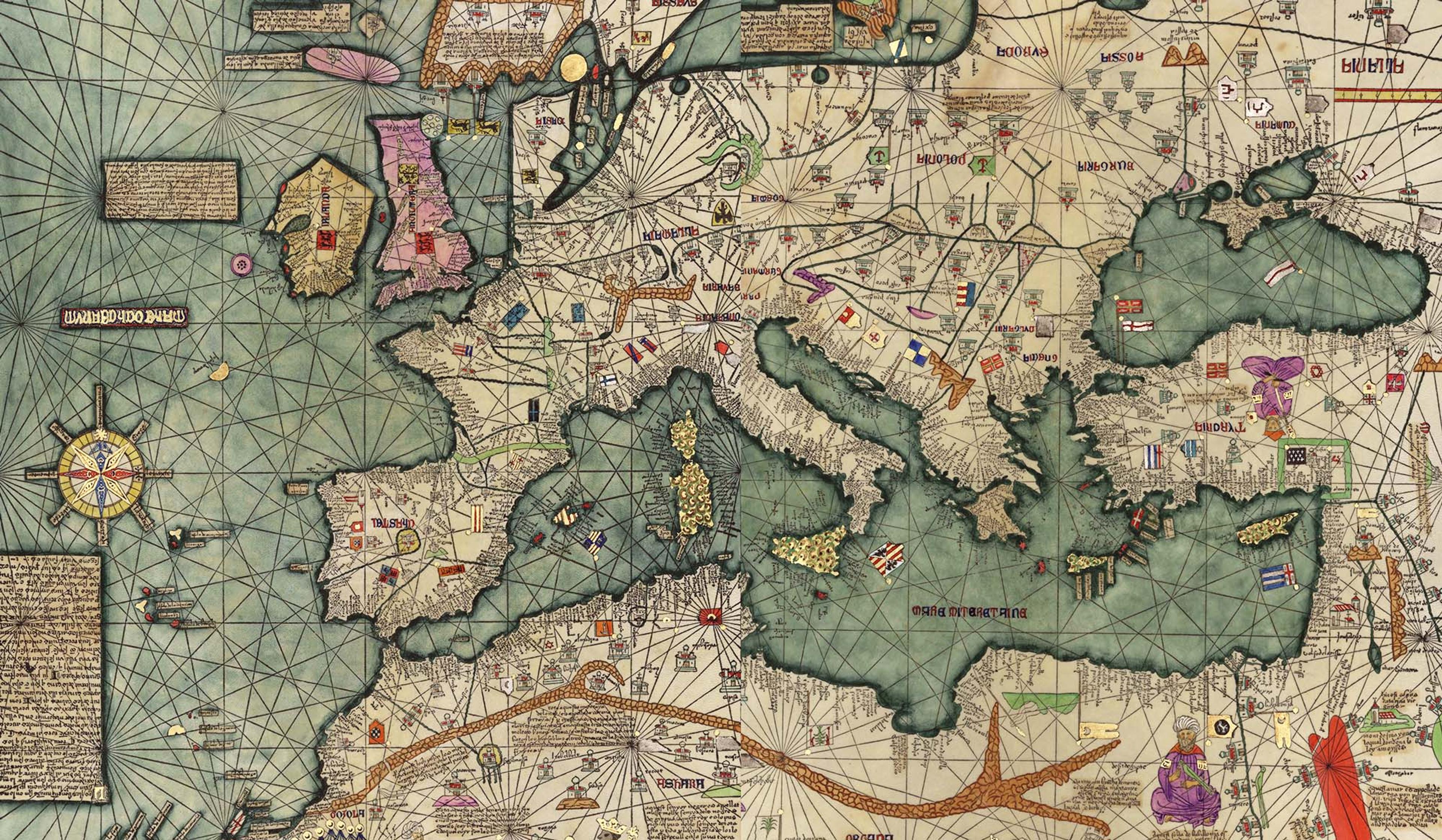
videoHistory of technology
Master cartography and mythical creatures – the world according to the Catalan Atlas
8 minutes

videoArchitecture
Tour the European architecture that dreamed of a wondrous, fictitious China
16 minutes

videoOceans and water
A stunning visualisation explores the intricate circulatory system of our oceans
5 minutes

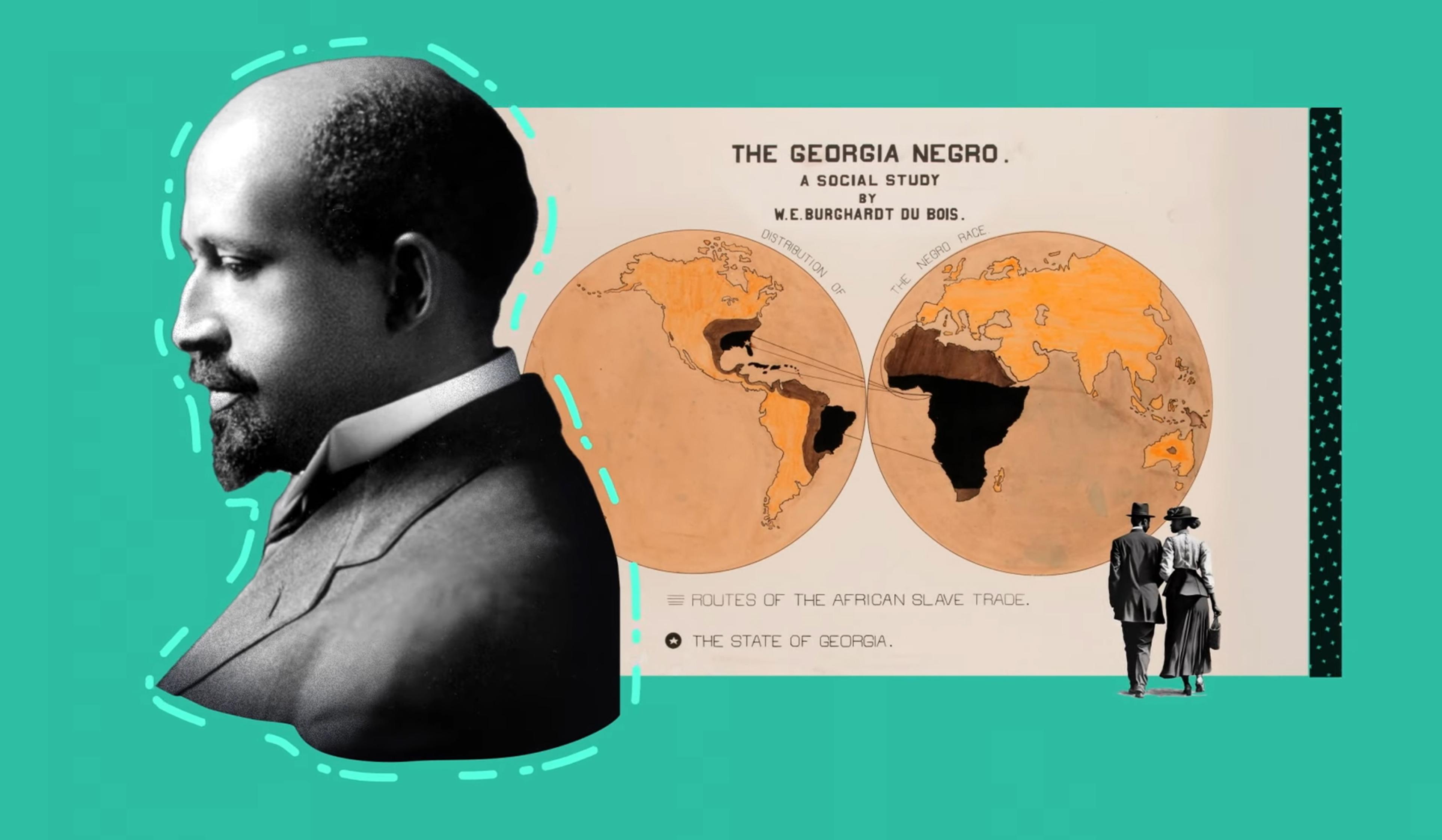
videoHuman rights and justice
Portugal stole Goa’s lands and narratives. Can they ever truly be returned?
19 minutes
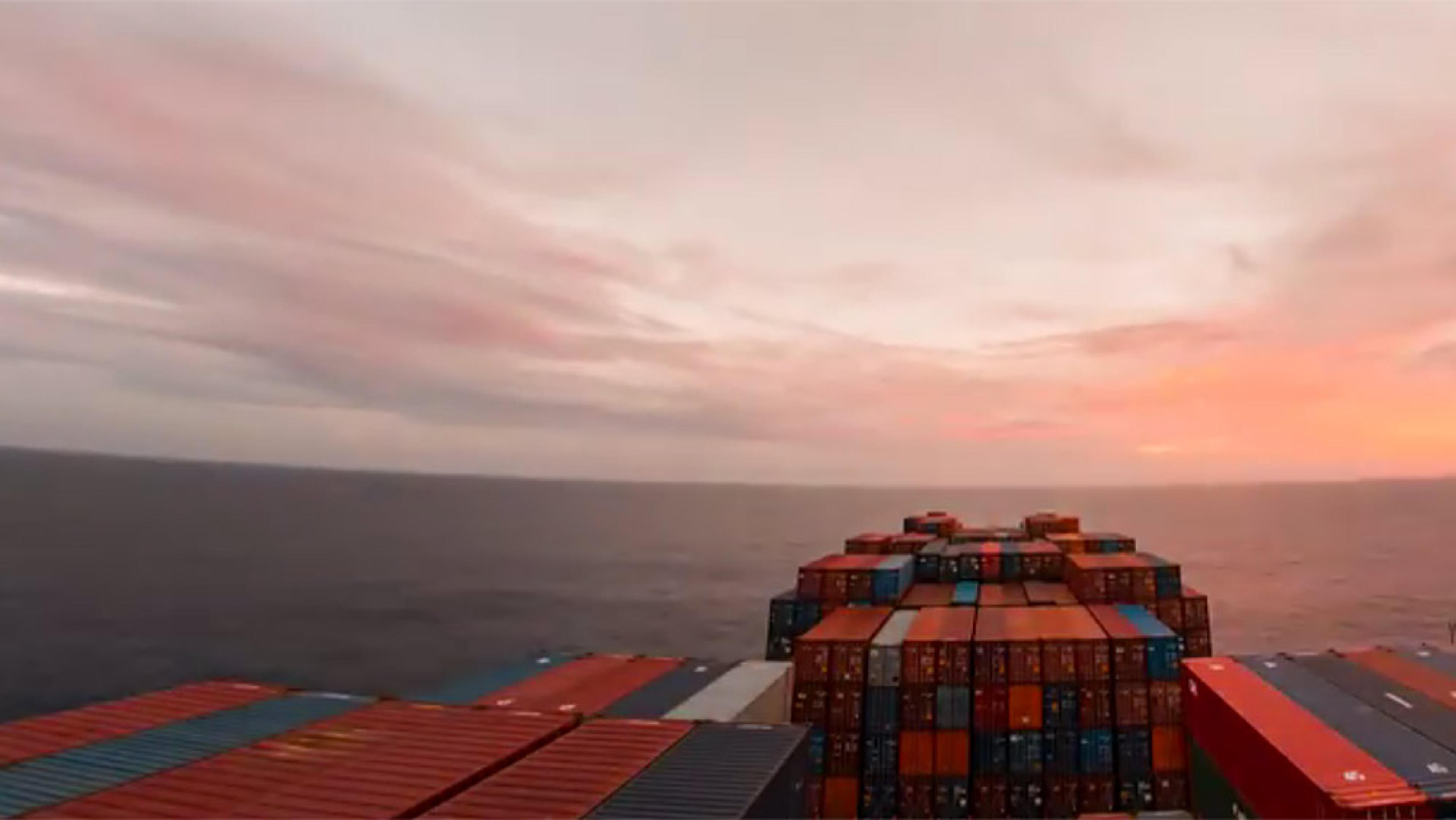
videoProgress and modernity
From the Red Sea to Hong Kong in 10 minutes – a stunning cargo-ship timelapse
10 minutes