The US-Mexico border fence, a major topic in the 2016 US presidential race, is a sprawling structure winding across some 2,000 miles between San Diego in California and Brownsville in Texas. It is also roughly two-thirds incomplete. Best of Luck with the Wall, an imaginative, dizzying short documentary that uses 200,000 satellite images downloaded from Google Maps, makes clear the sheer magnitude of the US-Mexico border, and the mindbogglingly massive challenges any full border fence would face in separating the two countries. The documentary is a collaboration between The Intercept, Field of Vision and the US internet artist Josh Begley.
What would 2,000 miles of a US-Mexico border fence actually look like?
Director: Josh Begley
Producer: Sierra Pettengill
7 November 2016
videoDemography and migration
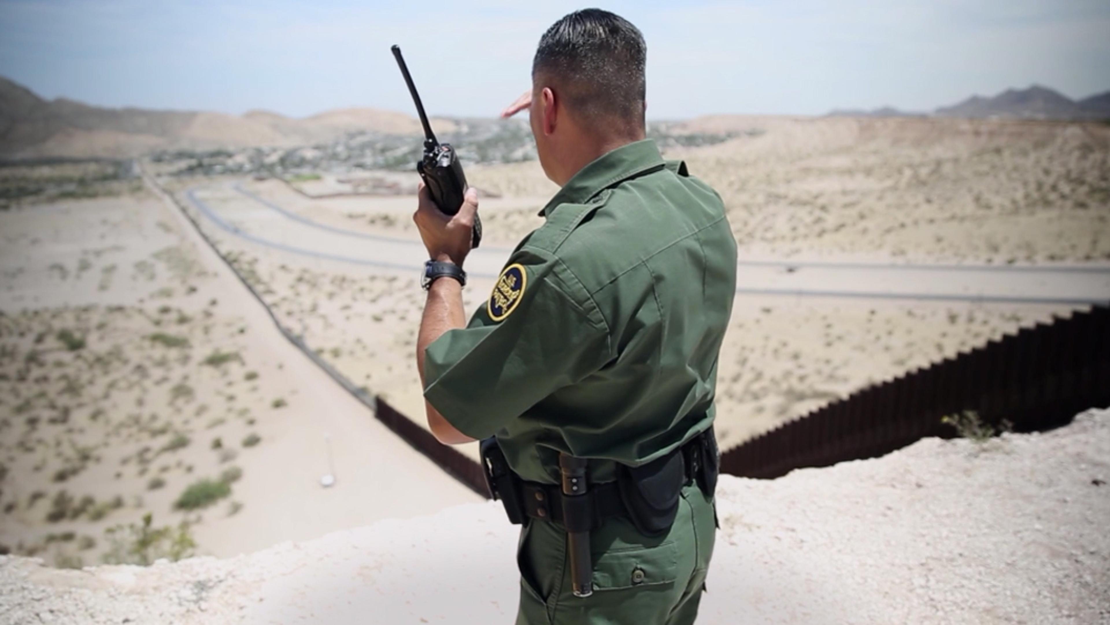
How the US-Mexico border fence divides people and damages the land
10 minutes
videoDemography and migration
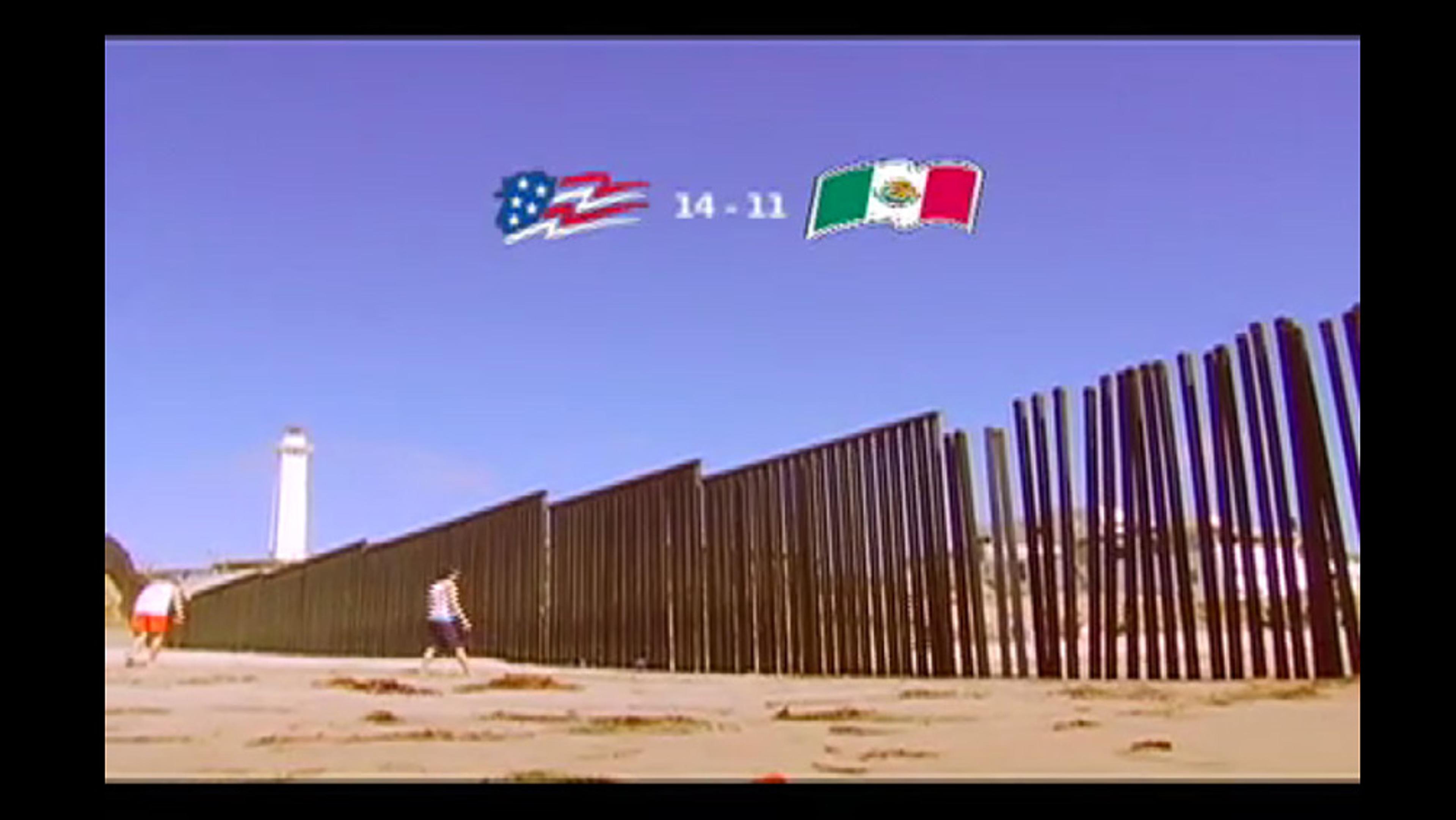
The world’s most illegal game of volleyball was played over the US-Mexico border
3 minutes
videoDemography and migration
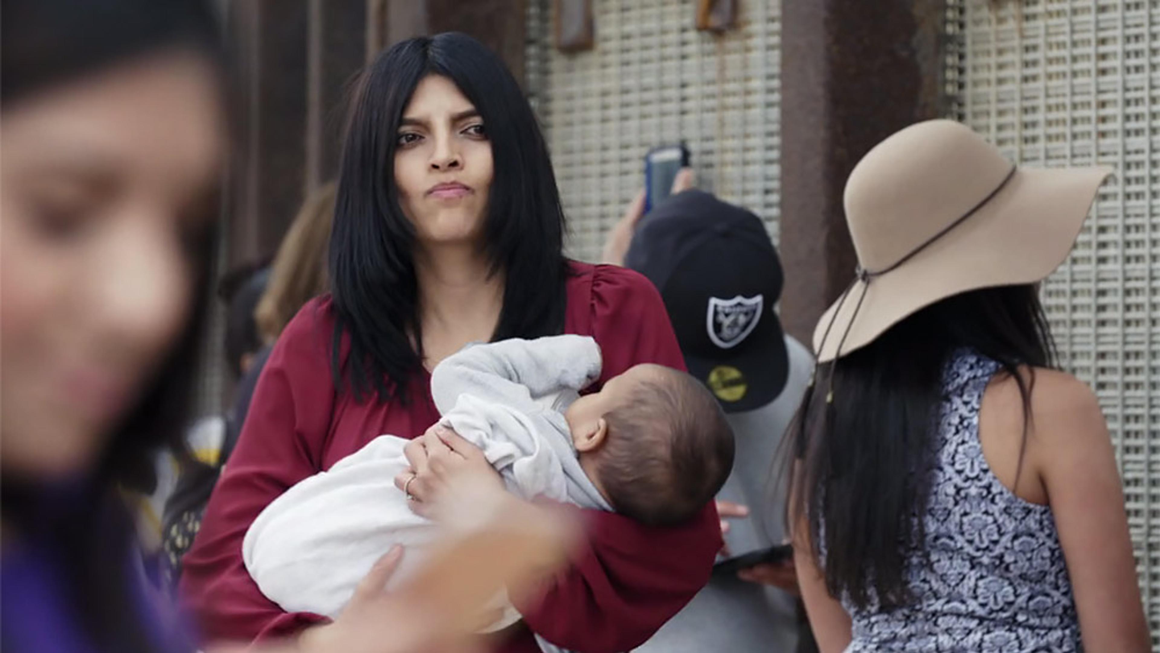
On the US-Mexico border, loved ones on both sides can see each other but cannot touch
12 minutes
videoDemography and migration
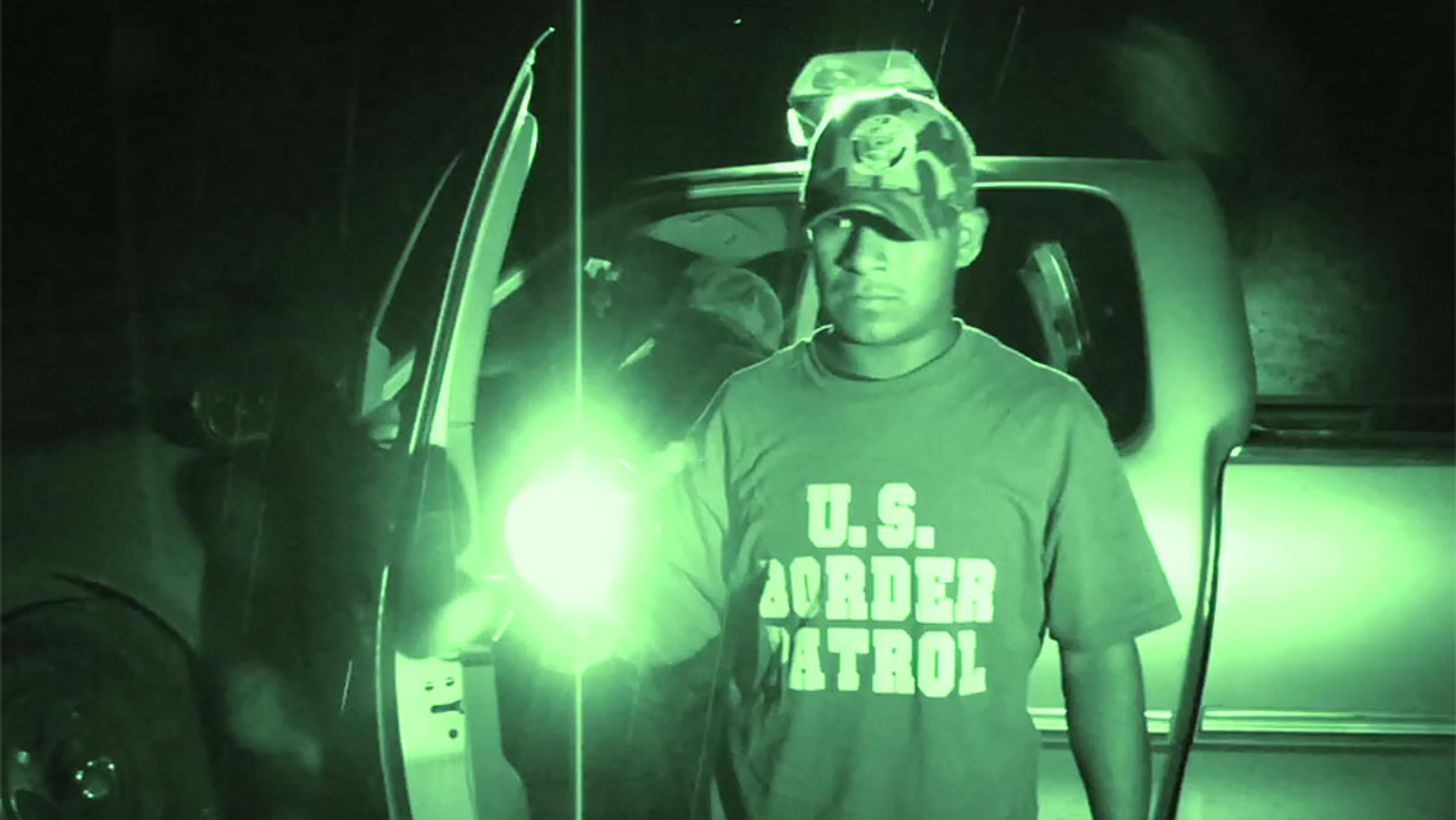
Far from the US border, a Mexican town acts out nightly illegal border-crossings
15 minutes

videoHuman rights and justice
Can providing humanitarian aid be illegal? A troubling case from the US-Mexico border
17 minutes

videoArt
The sprawling mural that depicts an unflinching people’s history of Los Angeles
7 minutes
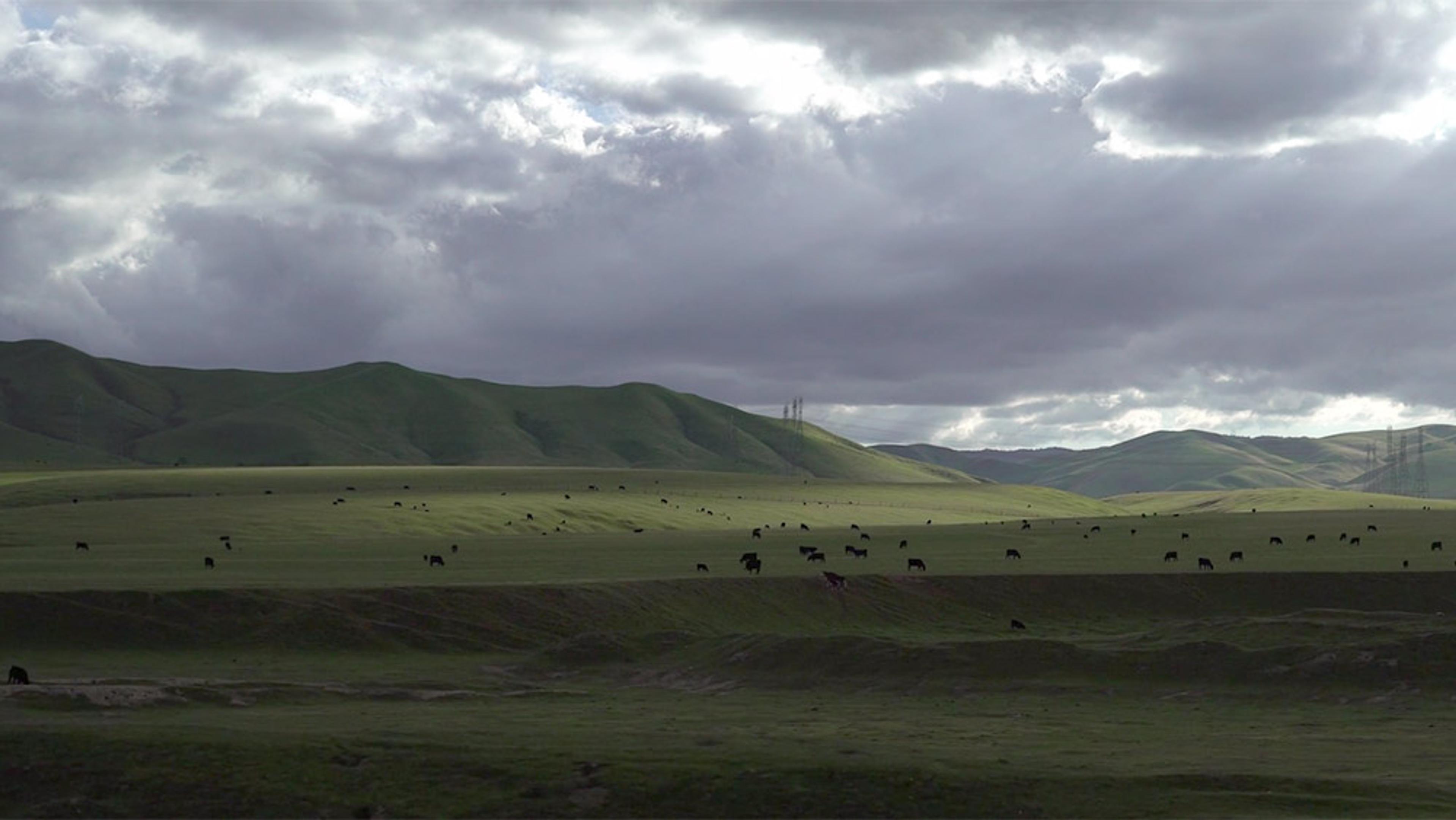
videoNature and landscape
Chase rolling hills and windmills on a jazzy ride through the California countryside
3 minutes
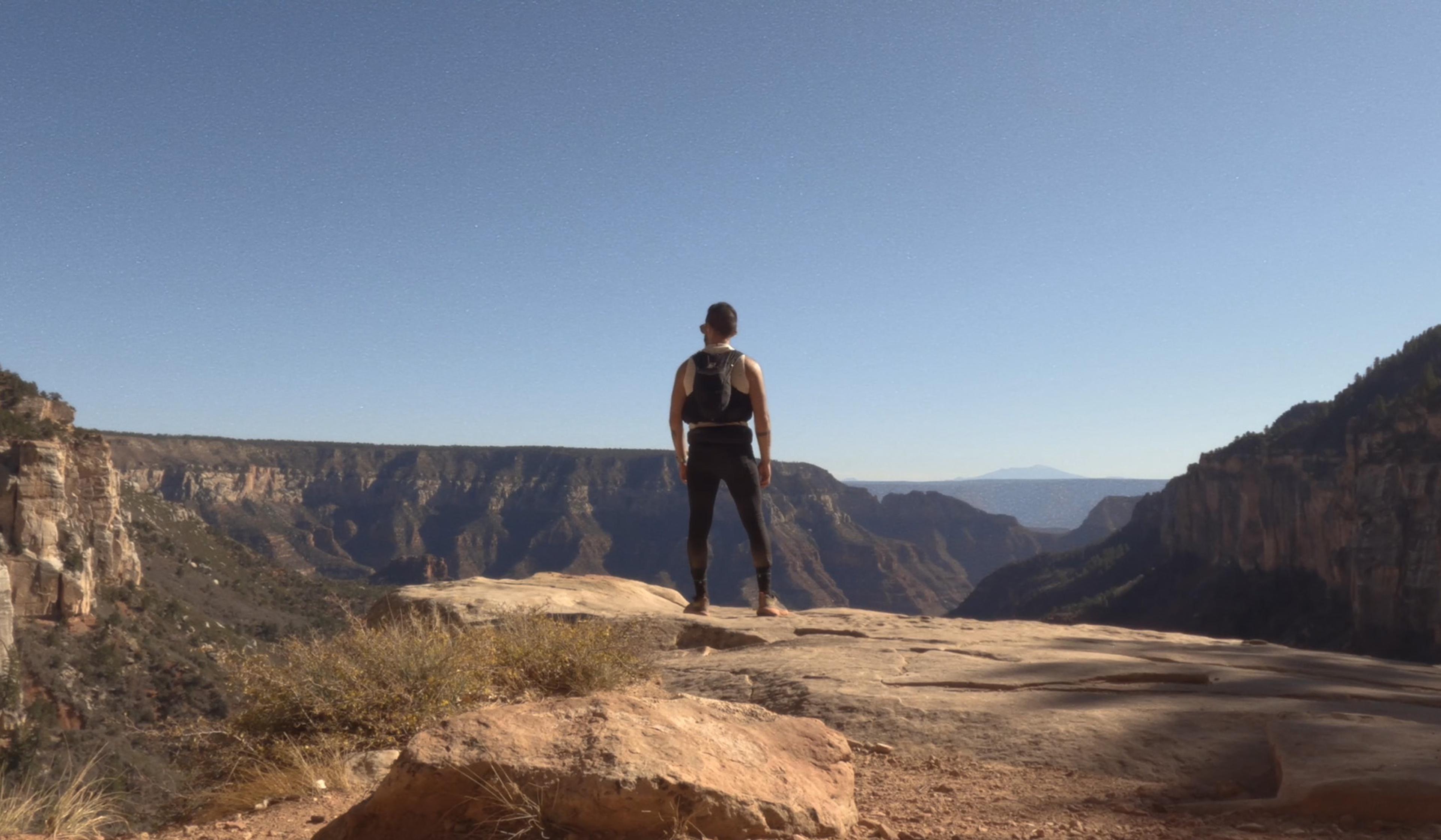
videoConsciousness and altered states
You need to make friends with pain to run through the Grand Canyon and back
5 minutes

videoDemography and migration
In California’s farmlands, immigrant workers share their stories of toil and hope
17 minutes