Master cartography and mythical creatures – the world according to the Catalan Atlas
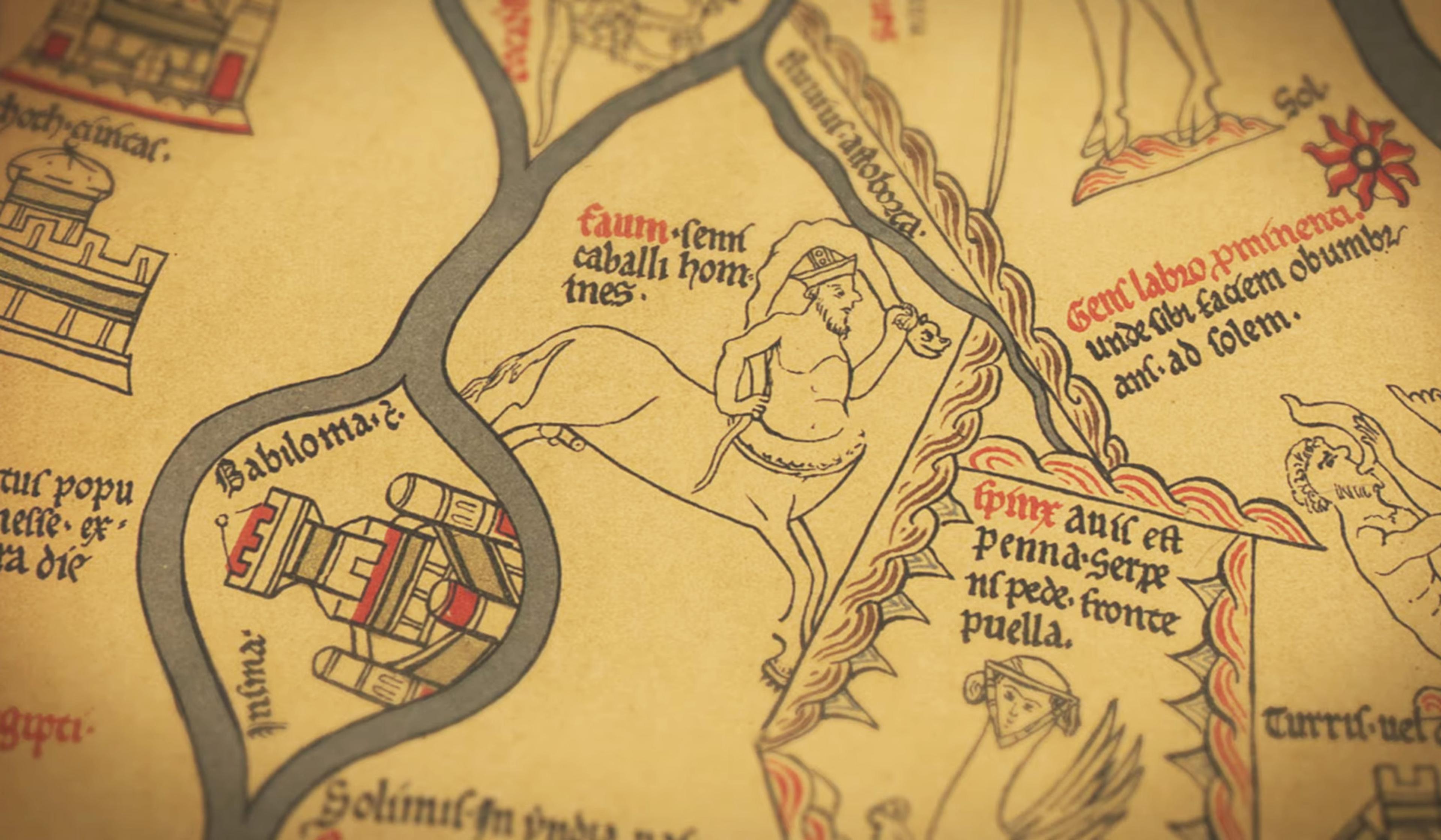
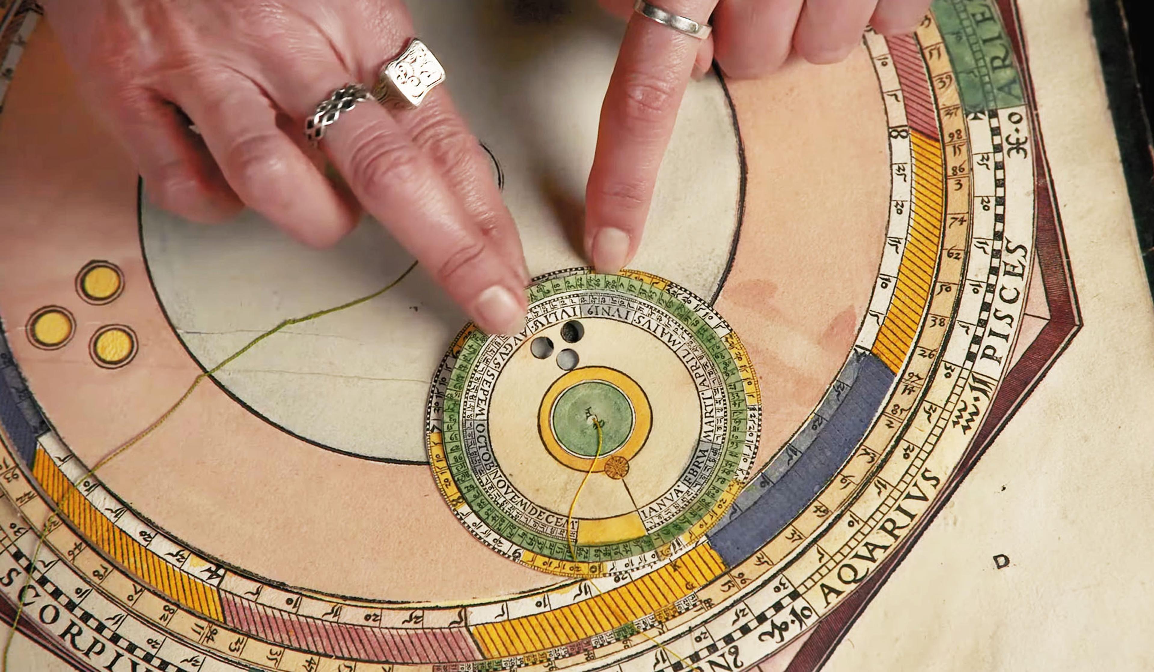
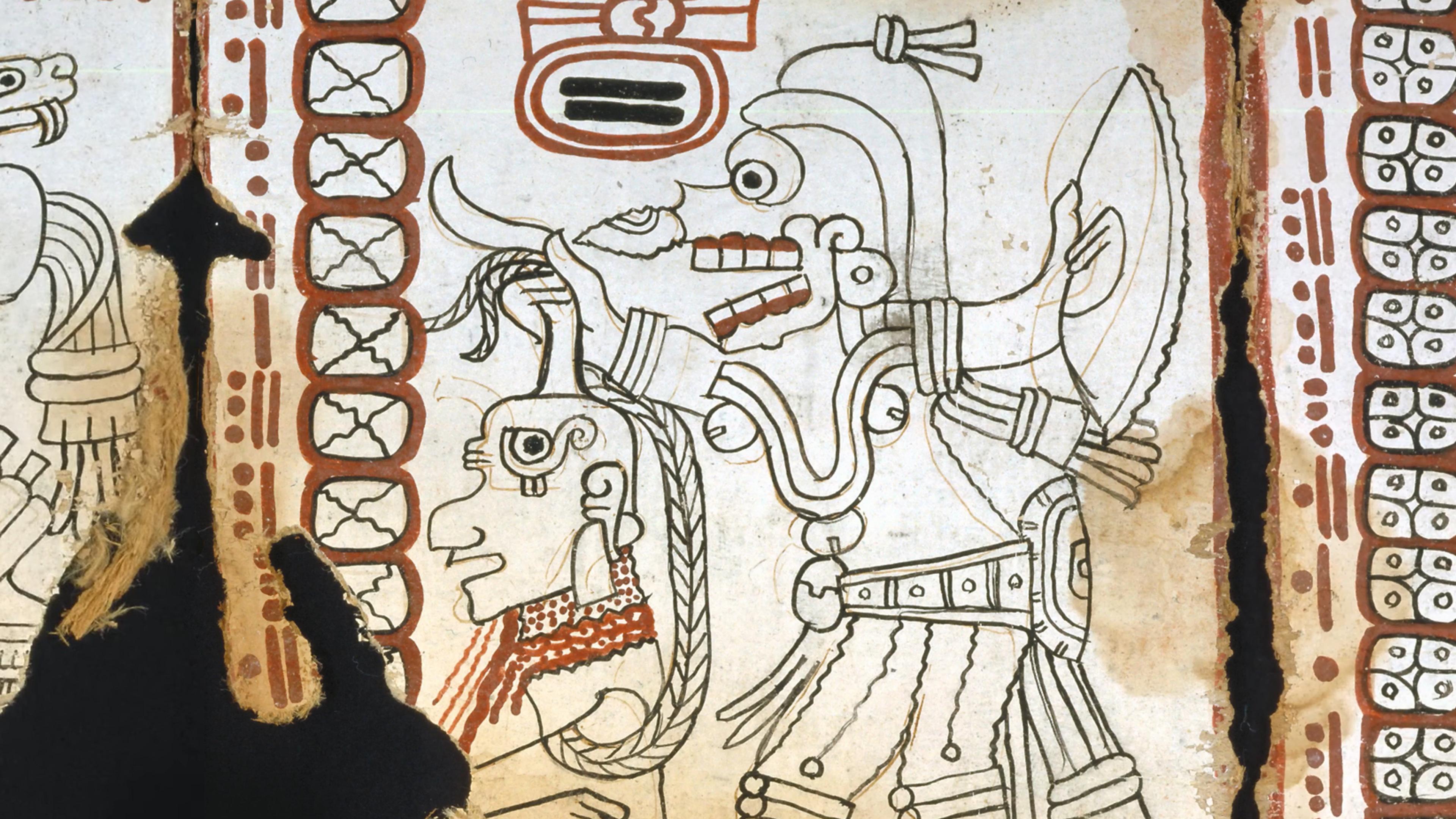
The journey from textual descriptions and valiant guesses to the exceptionally accurate maps of today was a millennia-long enterprise of small steps. However, as the US graphic designer and video producer Jeremy Shuback explores in this brief history of mapmaking, the endeavour took a somewhat giant leap with the project that would later become known as the Catalan Atlas (1375). The ambitious project, which was assembled mostly by Jewish cartographers, combined the mapmaking expertise of the Muslim world and the nautical prowess of the Christian world. And, as Shuback details, in addition to being perhaps the most accurate and important map of the Middle Ages, it was also quite beautiful, with detailed illustrations of ancient rulers, Christian mythology and more woven into the landscape.
Via Open Culture
Director: Jeremy Shuback

videoGlobal history
After the fall of the Iron Curtain, a young couple discovers a strange, newly open world
18 minutes

videoMedicine
Drinking wine from toxic cups was the 17th century’s own dubious ‘detox’ treatment
11 minutes

videoEngineering
How water-based clocks revolutionised the way we measure time
10 minutes

videoEcology and environmental sciences
Join endangered whooping cranes on their perilous migratory path over North America
6 minutes

videoEnvironmental history
In Kazakhstan, ‘atomic lakes’ still scar the landscape decades after Soviet nuclear tests
13 minutes

videoIllness and disease
Humanity eradicated smallpox 45 years ago. It’s a story worth remembering
25 minutes

videoArchitecture
A 3D rendering of the Colosseum captures its architectural genius and symbolic power
17 minutes

videoLanguage and linguistics
Do button-pushing dogs have something new to say about language?
9 minutes

videoArt
When East met West in the images of an overlooked, original photographer
9 minutes