I don’t think very far into the future. As far as I can tell, no destiny is calling my name from a distant mountain top. But it’s easy to see how the notion of a purpose lets people see their life as a single decisive line, like a thread in the capricious hands of the three Fates. Or, as Robert Frost has it in ‘The Road Not Taken’ (1920), a poem that countless American high school graduates have heard from valedictorians:
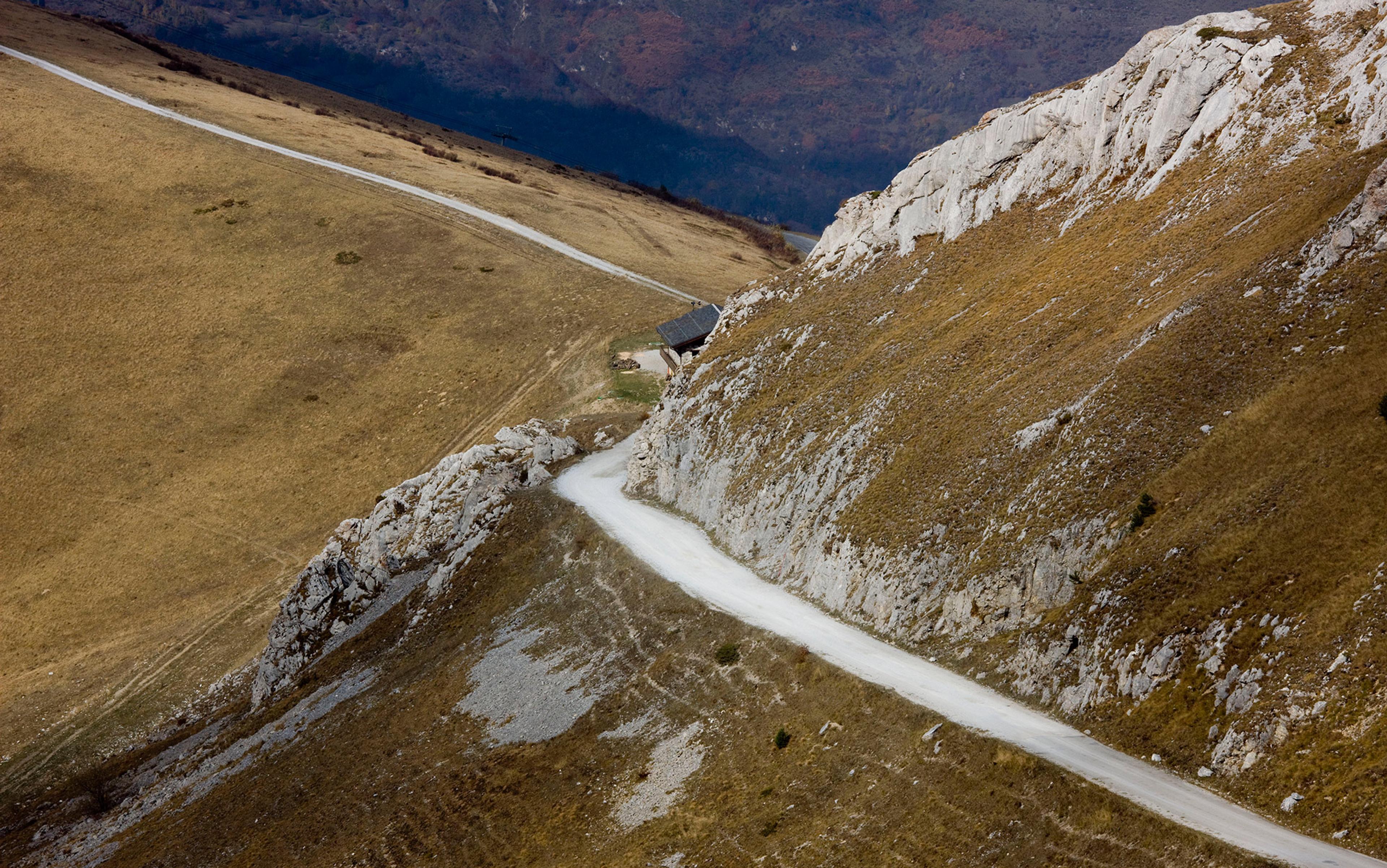
Two roads diverged in a yellow wood,
And sorry I could not travel both
And be one traveler, long I stood…
The Canadian songwriter Stan Rogers sang of ‘One warm line, through a land so wild and savage’, and if you’re pondering your life as a single story, winding through the landscape, that image does make a lot of sense.
But the world itself is not linear. Life stretches out around us, unrelievedly three-dimensional, and our pathways through it are neither straight nor simple. Robert Frost’s two paths were not his only choices. He could have ducked off the path altogether, ignoring the ‘No Trespassing’ signs in the Vermont woods. What is more, the line of our life is full of little loops — from home to work and back, upstairs and downstairs again, tossing back and forth in our beds. We fairly hum with movements that don’t go anywhere except back to where we just were.
If so, how do we do that, while knowing that there is no forward inherent in the world except for the direction we happen to be facing? How do we inhabit this intractably complex, three-dimensional world, even as we trace the line of our lives across its two-dimensional surfaces?
Me? I do fieldwork.
I make maps for a living, and a lot of that work is making street maps. For a long time, my fieldwork has involved driving, walking, and every so often biking back and forth over a territory. It’s movement combined with a specific kind of alert attention: I check specific pieces of information against what’s around me on the streets. And this means that when I am done, and have made that map, I have captured that piece of the world. Even a year later, I can picture pieces of it in my mind’s eye better than some of the buildings I walk or drive by unthinkingly every day at home.
But these days, my map work involves less fieldwork and more adapting and tweaking of existing digital data sets. When I first began making maps of small areas, I traced scans of architectural drawings, and then walked the streets to correct and update them. Now I routinely never leave my desk. Instead, I access digital building shapes acquired from airborne laser-mapping or LIDAR flight, align them with recent satellite views, and label them with pretty reliable street lines from the census bureau. It’s a different world, and I miss the sense of actually knowing places, because abstracted data, no matter how rich, is not the same as the world itself. As my colleague Steven Holloway says in his manifesto, Right MAP Making (2007), there is something important about a commitment to a ‘relationship with the place’ and ‘deep listening through direct-contact and stopping’ that even the best digital data can’t equal.
In my fieldwork, the line I trace becomes invisible. I don’t record my route in my maps, just the things I’ve seen. By contrast, the American artist Stephen Cartwright creates work based not on what he has seen but on data that shows where he has been. For well over a decade, he has kept an hourly record of his latitude, longitude and elevation. Some of his work shows the knots and loops of an ordinary life, the linework over time looking like a tangled piece of half-knitted fabric. Other pieces have a cleaner line, like those tracing his long bicycle treks. But in every case, there’s a disturbing kind of sterility: we know nothing about the world he has passed through except its location on the globe. While he has presumably been living his life fully as a human being, all we can see is the the contrail, the snail-track. It’s like a playscript with everything but the stage directions removed.
Were Americans wrong to use the simple heroic narrative to remember Lewis and Clark for 150 years?
I imagine that there’s a part of Cartwright that wants more fleshed-out adventures. I know there’s a part of me that longs, with the poet Robert Louis Stevenson, ‘to rise and go/Where the golden apples grow’. In the popular imagination, expeditions possess a simplicity of narrative that most ordinary life does not have: the journey out and back through dangers. Here at last we have that simple heroic line through the world. The American writer Joseph Campbell began his career as a mythographer with the ‘Hero’s Journey’, as initially recounted in his Hero with a Thousand Faces (1949) — an outward trek into the dangerous unknown; confrontation with both an ultimate enemy (and, symbolically, our own dark side); and the return home a stronger, nobler, yet humbler person.
In 1803, when Thomas Jefferson planned to send his friend Meriwether Lewis on an expedition to the Pacific Ocean, he probably had a vision like this in mind. But it would also have been bound up in a kind of heroic notion of knowledge-collecting, one that still persists in the modern sense of a scientific expedition as a journey justified in large part by the data it would bring back. Lewis and Clark’s 1804-1806 expedition to the Pacific collected an enormous amount of information about the ecosystems they travelled through, and ethnographic and political information about the tribes they encountered. Their detailed notes on the route they travelled were used to create a map that served for decades as the most accurate drawing of that part of North America.
The public celebration of Lewis and Clark’s great journey was centred around the heroic narrative of the trip and the travails that they overcame on the way. That remained the primary cultural memory of their trip until the mid-20th century. But that story’s simplicity is more a product of our desire for their journey to take a particular shape than a reflection of their actual experience. Were Americans wrong to use the simple heroic narrative to remember Lewis and Clark for 150 years? Did the explorers tell themselves this heroic narrative, or a version of it anyway, to help pull themselves along? Is that narrative in fact inaccurate? After all, they did actually perform all those mighty feats of endurance.
Think, though, about what it must have been like to do what they did. Take the project begun on 13 June 1805 to portage the 18 miles around the Great Falls of the Missouri, dragging canoes and equipment over rocky ground studded with prickly pear cactus, in alternating heat and intense storms. For the month that it took to pass this point, this was the expedition. It must have been all-consuming. And when it was complete and they were on their way further upstream on 15 July, what an accomplishment just that one segment must have seemed.
On a smaller scale, the work of collecting and documenting specimens, getting bearings and creating detailed maps, even the day-to-day discipline of cooking, cleaning, eating, and generally making camp, was work that required concentration and care. The evidence from their journals suggests that the work was often difficult, but that discipline, and the work of detailed note-taking, were assiduously maintained throughout.
We view the narrative arc of the entire two-year expedition as its great achievement, as did the American public of the time. But in life, this arc is made up of smaller accomplishments, smaller arcs. And this is how most human accomplishment progresses, in small arcs. My fieldwork for a map of downtown Denver is not part of a larger epic, nor is it especially difficult — no prickly pear cactus, and lots of easily procured cooked food. But in terms of how I approach it, it is a series of particular questions: is what we have on the map here up-to-date? How about there, and there? It takes attention, the kind of attention that encompasses knowing a place thoroughly, whether on foot or via the data. And when I’m done, I can give myself a little congratulation on finishing a project.
My work this past year has led me to look for the first time at the historic records of the US General Land Office surveyors, and this has got me thinking further about the play between venturing on heroic expeditions through the land, and really inhabiting it. Beginning in 1785, teams of men first surveyed the six-mile-square townships that still form the basis for much of the US local government. Then when non-Indian settlements were to be opened up, they surveyed the one-mile-square ‘sections’ within each township that still form the basis of most US property lines.
What if we just stop every so often, like Dike out on his treeless, billowing prairie? What if, instead of measuring out the land for others, we take a handful for ourselves?
The most striking thing about these surveyed townships, especially if you come from a part of the world where territory is grounded in organic shapes — for example, rivers, ridge and shore lines, even the straight lines between two ‘permanent’ landmarks — is how the surveyed townships ignore the ground beneath them. Though they mark out places, they themselves are as placeless as any of the anonymous artefacts of modern civilisation about which social critics love to carp.
In making a map of a ranch in North Dakota recently, I needed to resolve a boundary line question, and I ended up going back to the original land survey document from 1902 for the township in question. It describes the landscape, in the sense that it tells the position of the ravines, streams and ridgelines that lie along the survey lines; what corner monuments were erected, and other basic details — such as soil condition, who or what currently occupies the land, and so on. But it is relentlessly unpoetic. The line traced by the survey team is similarly relentless, like the grid itself — north, then south, then east, then west, back and forth like the weft and warp on a loom.
Yet the men performing this survey were human beings. Their leader, George K Dike, had been surveying in North Dakota for almost 20 years, and in letters to his future wife Nancy 17 years earlier he had written about everyday life in the survey camp, listening to the Indians in a nearby encampment mourning for a dead child, wondering about the drunkard who is in charge of another survey team and whether he’d be asked to pick up his slack. He mused about his own social inadequacies, held forth on what it means to be a family, and courted Nancy, hoping he’d be able to visit her in Minnesota soon.
He talked a little about the land itself, too, saying in a letter of 15 June 1885: ‘There seems to be something majestic about this treeless, billowy land and I think of times when I am all alone with no human being or the works of beings in sight and how the presence and fellowship of God seems more near and dear at such times.’
How can we not fall in love with the land we pay close attention to? My job, like Dike’s, is not to tell the world about my love. It is to give people tools to find their way, to make unfamiliar places navigable. When someone no longer needs my map, because the place has become familiar, my work has succeeded.
How can we not fall in love with this life we pass through? Because that is the real falsehood of the Greek Fates and their thread, and of Cartwright’s lines. Our life is not the line, but the space around that line. Dike’s life wasn’t the survey lines or the report of the path, it’s the land he pushed that line through.
How do we make the moving trajectory of our self join with that beloved life all about us? What if we just stop every so often, like Dike out on his treeless, billowing prairie? What if, instead of measuring out the land for others, we take a handful for ourselves? I imagine the artist Albrecht Dürer finishing his watercolour The Great Piece of Turf (1503), a random section of lawn, his attention moving slowly back and forth, studying every visible detail of every leaf. He must have owned that piece of earth in a way few of us ever do. It must have owned him, so he could see pieces of that patch of meadow in his sleep.
This is what I want, to own and to be owned so thoroughly by even a tiny scrap of this earth. That is how I can be not just a line, but part of that three-dimensional world my one warm line passes through.
